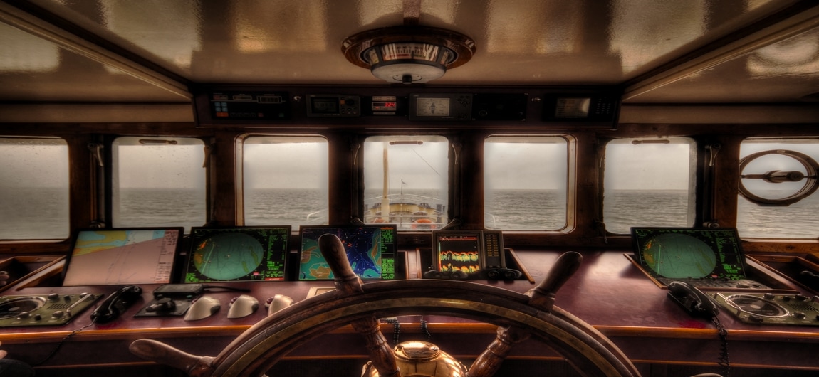
eLoran Set to Play Back Up to GPS on Container Ships
Due to the narrow nature of the English Channel, the General Lighthouse Authorities have announced that they will be taking a belt and braces approach to navigation. They have installed an old World War 2 software throughout major ports in Britain. Many critical instruments on a ship use GPS and failure of the system could result in disaster.
The eLoran system which is a grounded style navigation device will be used in the event that GPS fails. This is a step forward for the shipping industry, lowering the risk associated with importing and exporting goods via sea freight.
eLoran has begun testing at Felixstowe, the biggest container port in the UK where a large portion of the 3 million containers being brought into the UK yearly are unloaded. More and more goods are being imported from China to Europe every year and most of the major European ports are accessed through the Channel making it the busiest shipping route in the world.
The GLA claim that this system will be greatly beneficial to the shipping industry as the GPS systems used are very vulnerable and can be knocked offline by even the Sun. eLoran is set to be the ‘plan b’ for ships if the GPS goes wrong.
The World War 2 system known as Loran (Long Range Navigation System) has been updated and renamed eLoran, improving its infrastructure to make it more accurate. Although doing a very similar job the frequencies emitted by eLoran are very different to GPS.
As America decommission eLoran, the system has now been installed in 7 container ports across the UK and will improve the process of shipping, making importing and exporting your goods an even smoother process.
